


| Unaddressed Problems Damage Waterways | Prince William's Chesapeake Bay Commitments | Virginia Erosion & Sedimentation Minimum Standards | Occoquan Reservoir Quick Facts | Local Contacts |
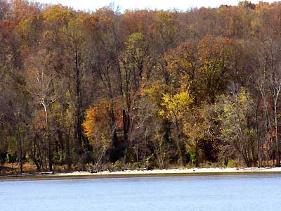
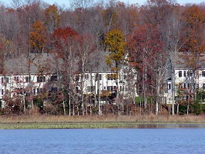
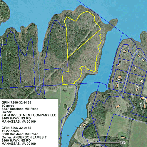
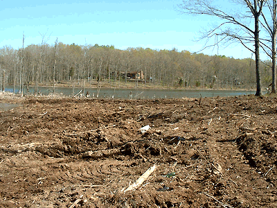
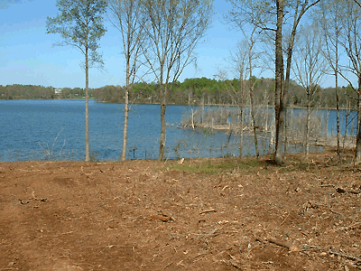
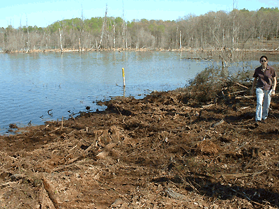
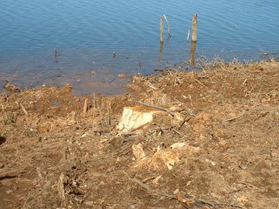
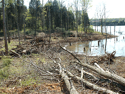
Lake Manassas Water from Lake Manassas (a public drinking water supply) flows into the Occoquan Reservoir (a public drinking water supply). From there, the water flows to the Potomac River and on to the Chesapeake Bay. When buffers are cleared and construction practices disrespect the land, the damages impact all these waterways and contribute to the escalating (taxpayer) costs needed to "save the Bay," not to mention our public drinking water supply. Photos of Lake Manassas site, 8800 and 8837 Buckland Mills Road, showing clearing of Prince William County Resource Preservation Area, City of Manassas easement and work below the high water line; early May, 2006. Click here to read letter from U.S. Army Corps of Engineers to City of Manassas. Click on images for larger view. |
||
 |
 |
 |
 |
 |
 |
 |
 |
 |